The Camel Trail
The Camel Trail, one the of Cornwall's most popular off road cycling facilities, follows the route of a disused railway track and is is part owned by North Cornwall District Council and by Cornwall County Council. Managed as a Partnership involving local community organisations, the 17 mile long Camel Trail is carefully maintained and promoted in order to accommodate the 350,000 users each year.
The trail links towns of Bodmin, Wadebridge and Padstow. An extension to the route follows the river towards Camelford.
| Padstow to Wadebridge | Wadebridge to Bodmin | Bodmin to Wenfordbridge |
| 5.5 Miles (8.8Km) | 5.75 Miles (9.25Km) | 6.25 Miles (10.1 Km) |
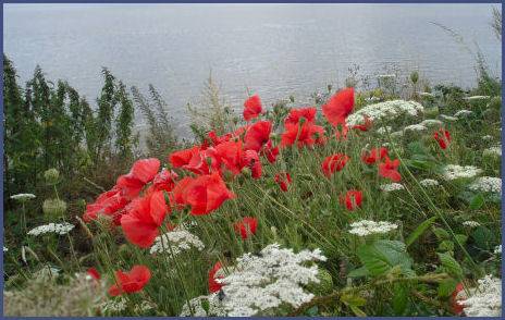
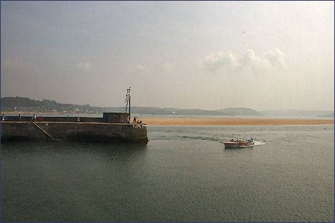
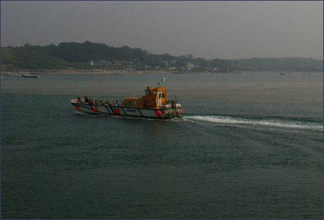
The trail the follows the route out of the fishing port of Padstow, along the beautiful the Camel Estuary, via a disused railway line once used by the London and South West Railway. It provides stunning views and proceeds for 6 miles to the busy market town of Wadebridge and continues a further another 8 miles to Bodmin. The route hugs the Camel Estuary from Padstow to Wadebridge prior to proceeding through the deeply incised and beautifully wooded Camel Valley to Bodmin. which characterful streets boast a number of buildings of historic interest.
At Bodmin yet another line, one of the most historic in the country, winds its way inland to the western edge of bleak and brooding Bodmin Moor where it comes to an end near Blisland, an extremely pretty moorland village.
The Camel Trail can be joined at various points along its route and has links to The St Piran Trail, The Coast and Clay Trail and The North Cornwall Trail. The level trail is suitable for walkers, cyclists, horse-riders and wheel-chair users. Cycle Hire is available at Padstow, Wadebridge or Bodmin.
Long Distance Footpaths and Walks